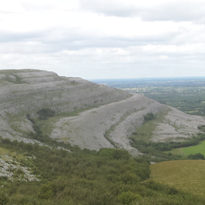
The Heritage Maps viewer is a web-based spatial data viewer which focuses on the built, cultural and natural heritage around Ireland and off shore.
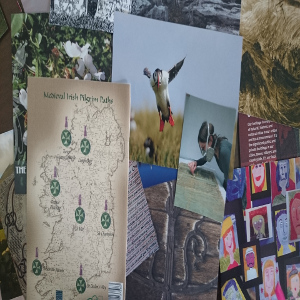
Heritage Maps allows you to look at a wide range of built and natural heritage data sets in map form, much of which have never been accessible to the public before. Heritage Maps can be used to create customized maps, measure area and distance, identify points of interest and study local flora and fauna, as well as many other uses, both recreational and research-based. These datasets were collected by both government departments and local authorities and it is worth noting that some datasets are only available on an individual county basis. The project is co-ordinated by the Heritage Council, working with the Local Authority Heritage Officer network. It builds on the work carried out by the National Biodiversity Data Centre, and you can generate reports on natural heritage by visiting their webviewer.
The Heritage Maps viewer acts as a “one stop shop” discovery tool, as it provides access to heritage data along with contextual data from a very wide range of sources. The user can create cross-disciplinary views from hundreds of datasets - crossing over administrative boundaries, subject boundaries, and the land-sea boundary. The Heritage Maps viewer offers a unique perspective, building up national coverage of heritage datasets from local authority sources as well as using existing national datasets. It uses web services to access live data where possible, thereby increasing data reliability.
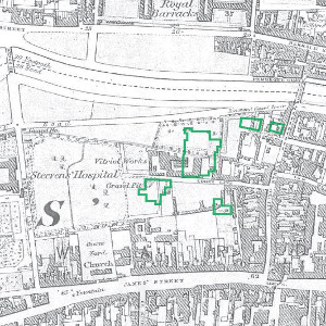
Importantly, there are datasets unique to this project such as soil susceptibility to coastal erosion, museums datasets and a range of thematic county heritage surveys, creation of which have been supported by the Heritage Council and the Heritage Officer Network.
Any absence of information on the Heritage Maps viewer does not necessarily imply a low heritage value for that area; the area or aspect may simply be unrecorded. Similarly, any absence of information for an area does not necessarily indicate that the information has not been gathered by the relevant authority; it just may not have been made available through the Heritage Maps viewer to date. The 'Guide to Datasets in Heritage Maps' gives the folder layout & content arrangement of the main map-viewer.
The national and international policy context within which the project partners are working include, inter alia: the Water Framework Directive, and the Marine Strategy Directive, the Floods Directive, Birds and Habitats directives, Strategic Environmental Assessment, INSPIRE, planning legislation, National Monuments legislation, National Landscape Strategy, County Development Plans, and Regional Planning Guidelines.
The datasets in Heritage Maps have been sourced from a range of departments and state agencies including inter alia: DECLG, DAHG, DAFM, DCENR, Fáilte Ireland, GSI, Marine Institute, EPA, National Museum, NPWS, NIAH, NBDC, OPW, SEAI and Local Authorities.
We are constantly striving to improve and upgrade the Heritage Maps user-experience. For this we rely on user feedback. Please take the time to send us your observations and suggestions via the feedback button, so that we can continue to improve the user-experience.
Please use the following format to cite data accessed through the Heritage Council’s mapping viewer: 'Data from the [Insert dataset details] accessed through the Heritage Maps Viewer at www.heritagemaps.ie, [insert date]'.
Metadata is provided where possible to permit the user understand motive for the creation of individual datasets. The Heritage Council will not provide access to, or supply datasets. All permissions to use and/or to access original datasets must be sought from the dataset creator and/or owner as outlined in the metadata.
The Map Viewer and associated infrastructure assists in meeting INSPIRE Directive obligations by providing a metadata service using the OGC CSW standard, and by loading data into the system the data is also available as a Web Service. Partners have been strongly encouraged to enter metadata into the central national local authority metadata portal which in turn provides a feed into the national ISDE.ie portal. It is noteworthy that much of the project heritage data is not created under a statutory remit so may not be required under the INSPIRE Directive. However under the spirit of the broader Spatial Data Infrastructure topic, the project’s facilities for creating and serving data and metadata is important, as is the project’s encouragement to harmonise data across organisations thereby facilitating its wider use.
A number of datasets have been created by the Heritage Council in order to raise awareness of the facilities represented within each dataset, with the aim of promoting our cultural, natural and built heritage. These datasets, available here, are being provided for public re-use under the Government’s Open Data initiative, and are published under the CC-BY-SA licence.
If you would like to provide feedback on this site or the map viewers please send an e-mail to the following:
Email